


Short Steep Trail Down to the Black River in Watertown
Info: City park, after you park go toward the Black River and you will find the foot bridge, after you pass over it you will find the trail, a fairly steep trail leading down to the shores of the Black River. Park area, bathrooms, water fountain, pavilion. Not recommended for those who have trouble walking.
 Marble Street foot bridge
  Down the hill between the stones
  Marble Street Trail, Photo submitted by Max Planck
  Marble Street Trail, Photo submitted by Max Planck
  Marble Street Trail, Photo submitted by Max Planck
  Marble Street Trail, Photo submitted by Max Planck
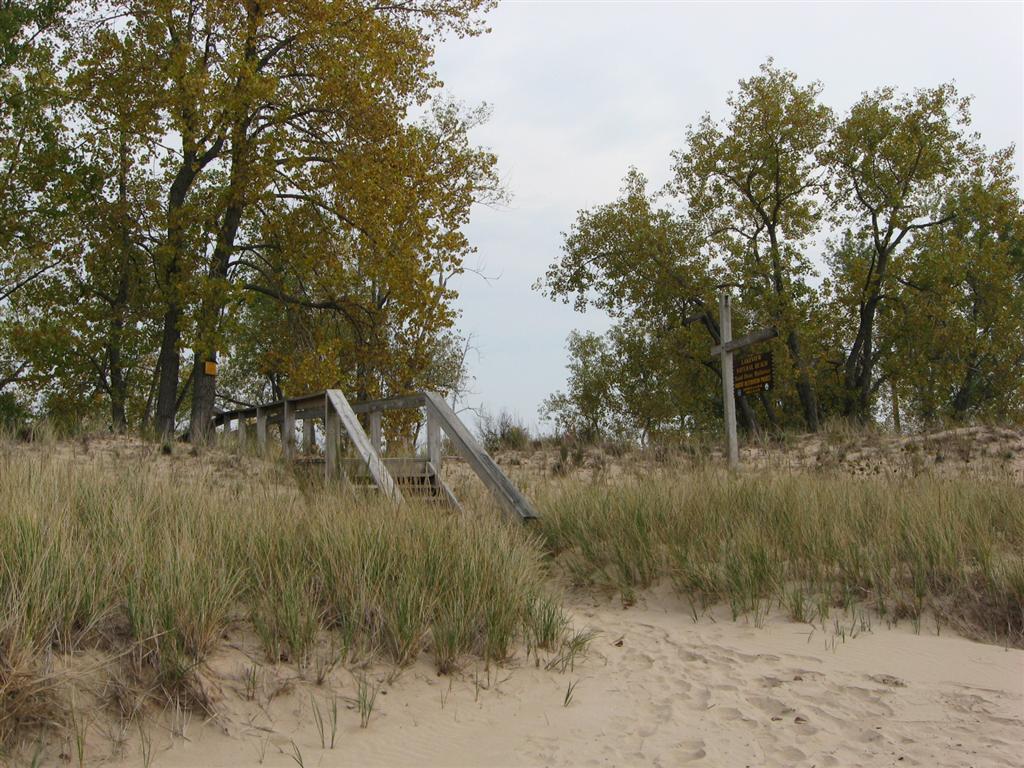
  Marble Street Trail
Directions/Location: Marble Street (off from Eastern Boulevard), Watertown.
GPS Coordinates: 43 58.617 N 75 52.442 W. Google Maps Link (thanks to Max Planck).
Trail Distance: Very short, around .2 of a mile from the parking lot to the shore of the Black River. Certain times of the year you can walk along the rocks along the Black River, be careful of fast waters.
Date/Time Open: During park hours.
Mountain Biking Allowed: Yes, but very short, step, watch for edges.
Hiking/Walking Allowed: Yes.
Cross-Country Skiing: Probably not.
Fishing: Fishing can be done the nearby shore.
Pets Allowed: Yes.
Built on Former Railroad Bed: No.
Special Instructions/Information: Around the corner from Waterworks Park.
For More Information: Contact City of Watertown


It should be noted that this area is rich in fossils and the rocks near the river are embedded with many kinds of fossils.