


Near Deferiet, good trail along the Black River but no other info on it


Info: I have no information on this but it seems to be a public trail, there are trail signs along it and a number of people use it. If you have some more info on this trail please contact me.
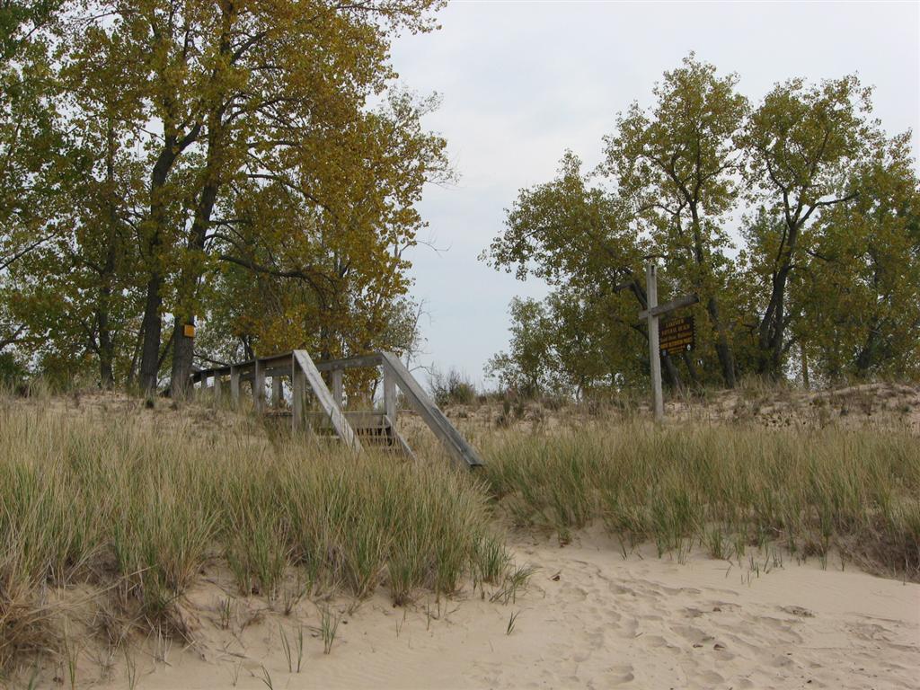
Directions/Location: Go eastward on Route 3 and pass through Great Bend and watch for the bridge, past the bridge and across from the corner of Riverside Drive, Deferiet look for the trail entrance. No signs visible, small dirt and grass parking area, old building nearby.
Get Google Map directions here or use map below.
loading map - please wait...
Deferiet New York, United States of America |
GPS Coordinates: N44.03365 W75.68618
Trail Distance: Around a mile and a half or so.
Date/Time Open: ?
Mountain Biking Allowed: Yes.
Hiking/Walking Allowed: Yes.
Cross-Country Skiing: Probably not.
Fishing: Fishing can be done at the nearby shore.
Pets Allowed: Yes.
Built on Former Railroad Bed: No.
Special Instructions/Information:
For More Information: ?


